
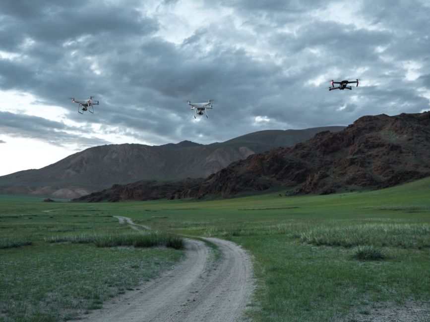
Imagine tracking the movements of endangered animals without disturbing their natural habitat or risking human safety. Surveillance drone technology is making this possible for conservationists worldwide, revolutionising how wildlife is monitored and protected. The integration of drones into conservation work has opened up new opportunities for data collection, security, and efficiency in monitoring diverse ecosystems.
Expanding the reach of wildlife monitoring
Traditional wildlife monitoring methods can be costly, labor-intensive, and sometimes dangerous, especially in remote or inaccessible regions. By using wildlife conservation drones, researchers can observe animal populations, migration routes, and changes in habitat from the air. Drones equipped with high-resolution cameras and thermal imaging sensors capture detailed data, allowing scientists to conduct accurate population counts and detect poaching activity without disturbing the animals.
One notable advantage is the ability to reach areas that would otherwise require helicopters or days of trekking. Drones can cover large territories quickly, providing near real-time updates on wildlife activities. This efficiency helps conservationists respond faster to threats and changing conditions, ultimately leading to better outcomes for at-risk species.
Surveillance drones versus traditional UAVs: what’s the difference?
The terms “drone” and “unmanned aerial vehicle” (UAV) are sometimes used interchangeably, but there are distinctions. In wildlife conservation, surveillance drones are typically small, agile, and equipped with advanced sensors tailored for environmental monitoring. They differ from larger, industrial UAVs that might be used for cargo transport or agricultural spraying. Surveillance drones offer the flexibility to fly at lower altitudes and maneuver through challenging terrain, making them ideal for capturing detailed imagery or tracking animals through dense forest canopies.
Compared to ground-based monitoring, these aerial devices can operate discreetly, reducing the risk of causing stress to wildlife and minimizing human-wildlife conflict. Their ability to provide continuous surveillance also improves the detection of illegal activities such as poaching or habitat destruction.
Commercial drones in conservation: real-world applications
Commercial drones are increasingly being deployed in the field for a wide array of conservation tasks. These include anti-poaching patrols, habitat mapping, and monitoring the health of vegetation. Drone inspection routines are now standard in many protected areas, where regular flights assess infrastructure like fences and water points, or monitor for signs of trespassing.
- Detecting illegal logging or mining in protected forests
- Monitoring nesting sites of threatened bird species
- Surveying large herds of migratory mammals
- Assessing flood or fire damage to wildlife habitats
By automating these tasks, drones free up human resources for on-the-ground intervention and strategic planning. Real-time data transmission also means authorities can act quickly when urgent threats are detected.
Improving security and utility with drone inspections
Drone utility inspection has become a core aspect of managing conservation areas. From checking boundary integrity to inspecting anti-poaching technology installations, surveillance drones help ensure that essential infrastructure is maintained and secure. Drone security operations can also include rapid response to unusual activity picked up by motion sensors or camera traps, with drones dispatched for a closer look before rangers are sent on foot.
The data generated from these inspections supports long-term planning and resource allocation. It also helps conservation managers demonstrate compliance with international wildlife protection standards, attracting funding and support for ongoing projects.
Where to learn more about using drones in conservation
If you want a practical guide on selecting the right surveillance drone or integrating drones into your conservation workflow, explore specialised resources on drone deployment in environmental monitoring. These guides often compare drone models, sensor types, and recommended flight protocols, helping conservation teams make informed decisions. Look for case studies from similar ecosystems to see what equipment and techniques have proven most effective. This approach will ensure your investment in drone technology delivers measurable conservation impact.